Table of Contents
Thar Desert
This article deals with ‘Thar Desert (Geomorphology of India).’ This is part of our series on ‘Geography’, which is an important pillar of the GS-1 syllabus. For more articles, you can click here.
Main Features of Thar Desert
- Thar desert is the 9th largest desert in the world.
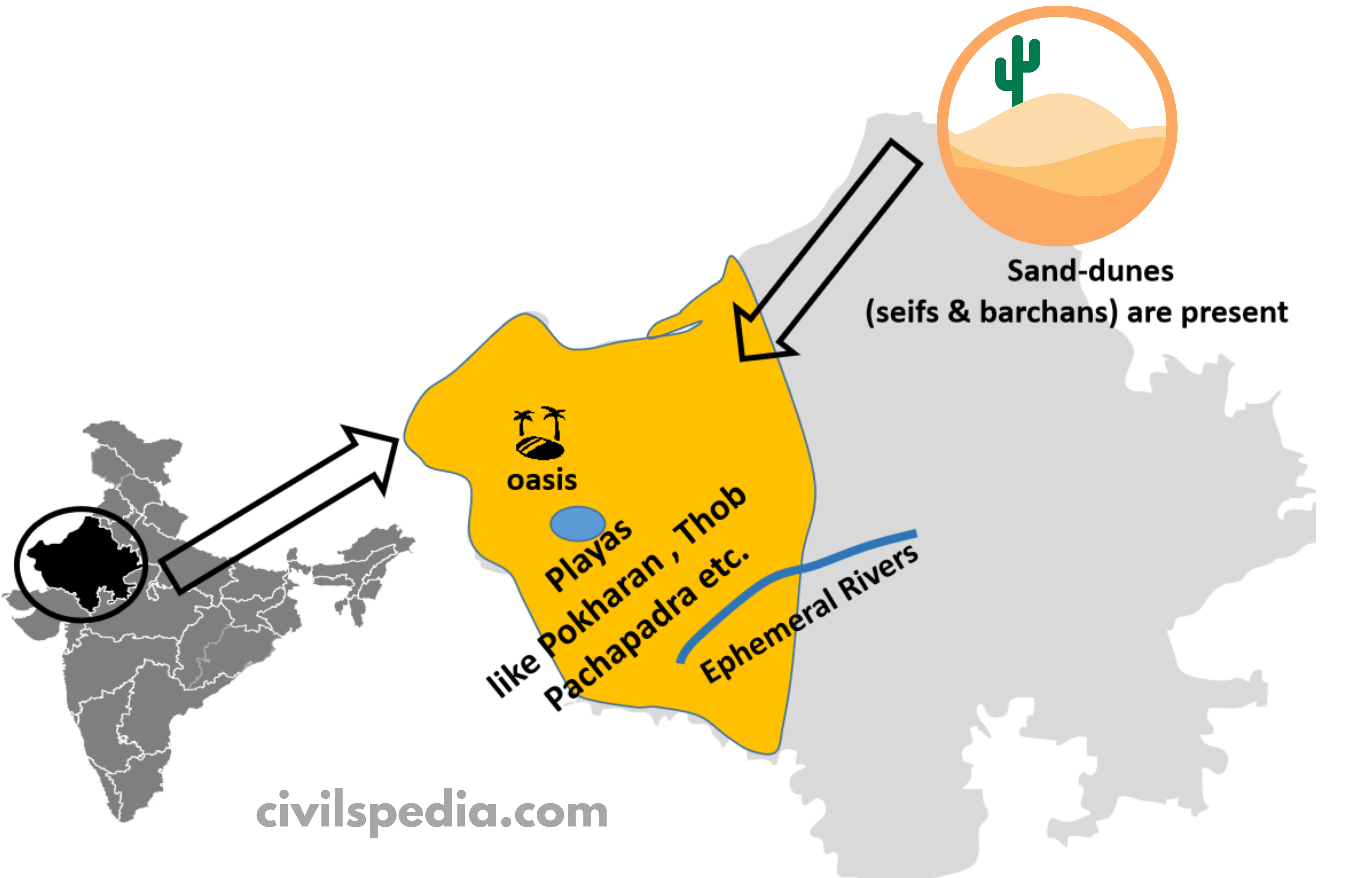
- It lies to the west of Rajasthan Bangar.
- t is a region of undulating topography with the presence of movable longitudinal sand dunes called the “Dhrian“.
- The region receives deficient rainfall below 150 mm annually. Hence, an arid climate with low vegetation cover is found here. Thar desert is also known as Marusthali due to this.
- It is believed that this region was under the sea during the Mesozoic era. It can be corroborated by the evidence available at the wood fossils park at Aakal and marine deposits around Brahmsar, near Jaisalmer.
- Although its surface features have been shaped by physical weathering and wind, its underlying rock structure is an extension of the Peninsular plateau. Mushroom rocks, shifting dunes, and oasis are prominent desert land features found here (primarily in its southern part).
- The majority of the rivers in this area are ephemeral. Luni River flowing in the Southern part is of significance. It is a water deficit zone because of the high evaporation and low precipitation. There are some streams that, after flowing for a while, dry up and join a lake or playa, presenting a typical example of inland drainage. The brackish water of lakes or playas is also the primary source of salt.
- This region is also famous for Great Indian Bustard, found in the Great Indian Desert Park (near Jaisalmer).
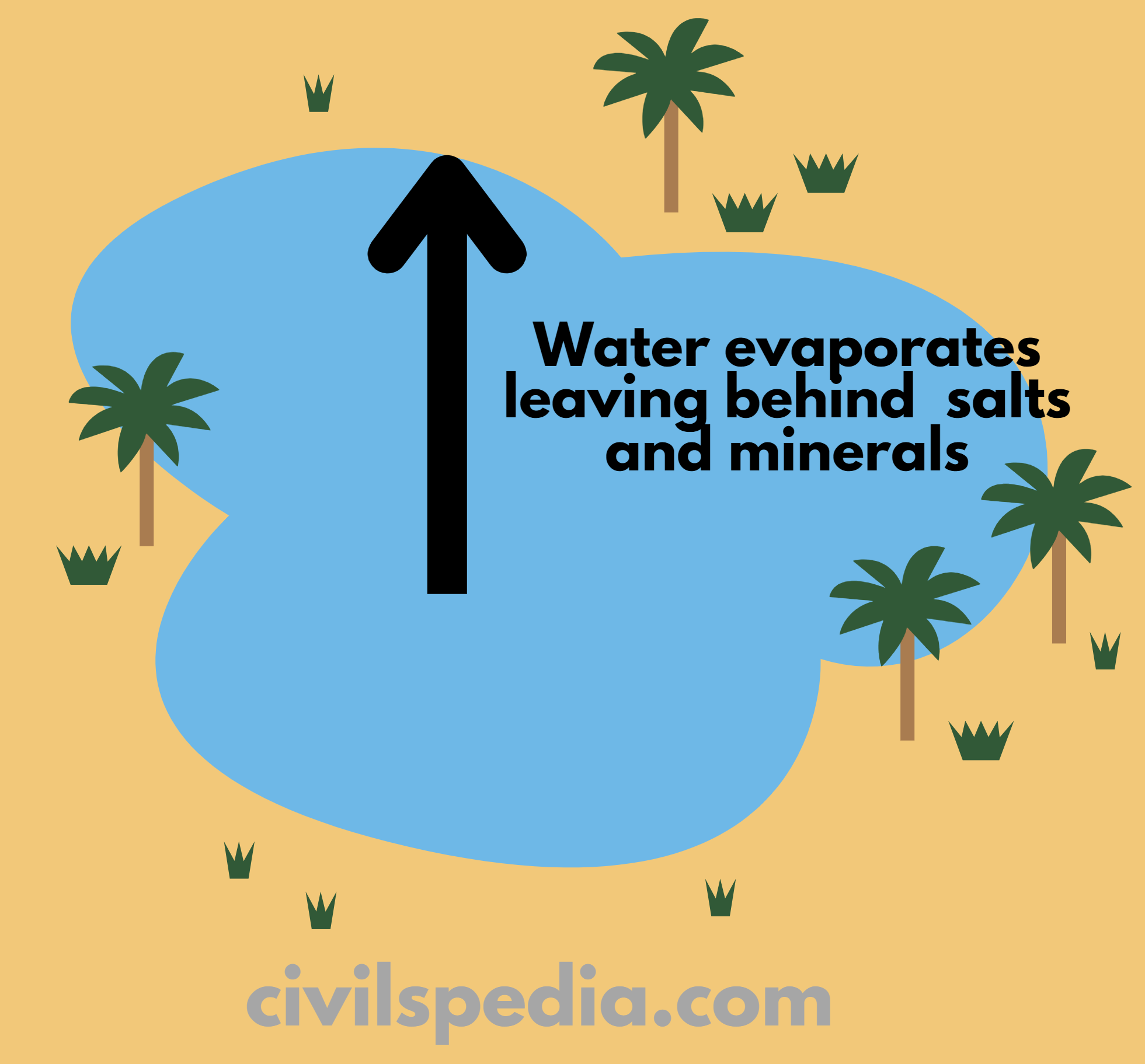
Side Topic: Playa Lake
- Depression in deserts is filled with water occasionally. It evaporates later, leaving behind salts & minerals. The cycle of deposition & evaporation goes on & is a source of
- Borax.
- Gypsum.
- Examples of Playas include Pokharan, Thob etc.